Hurricane Irma Pounds Lake Santa Fe
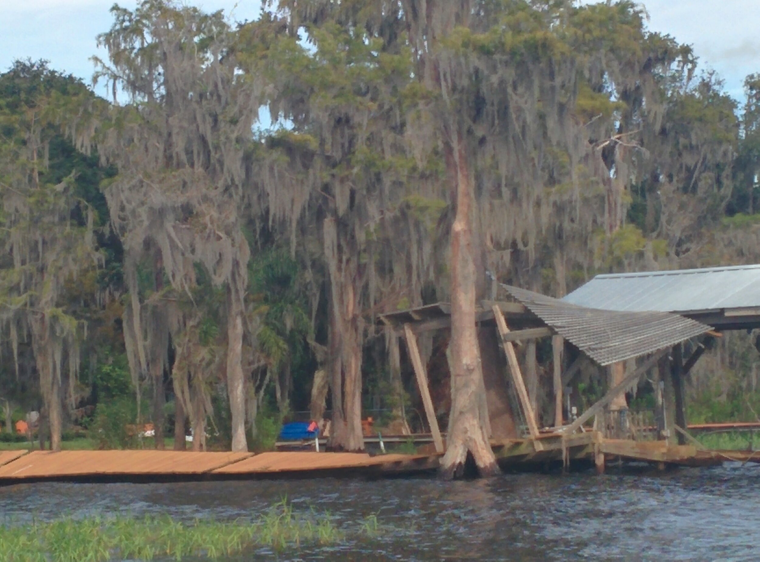
Hurricane Irma passed west of Lake Santa Fe through the night on Sept 10, 2017 bringing tropical storm force winds and two days of tropical rains. The lake level rose two feet in response to high rainfall and runoff. With high winds and water levels, docks were destroyed, and many more significantly damaged by storm waves. Some homes were flooded.

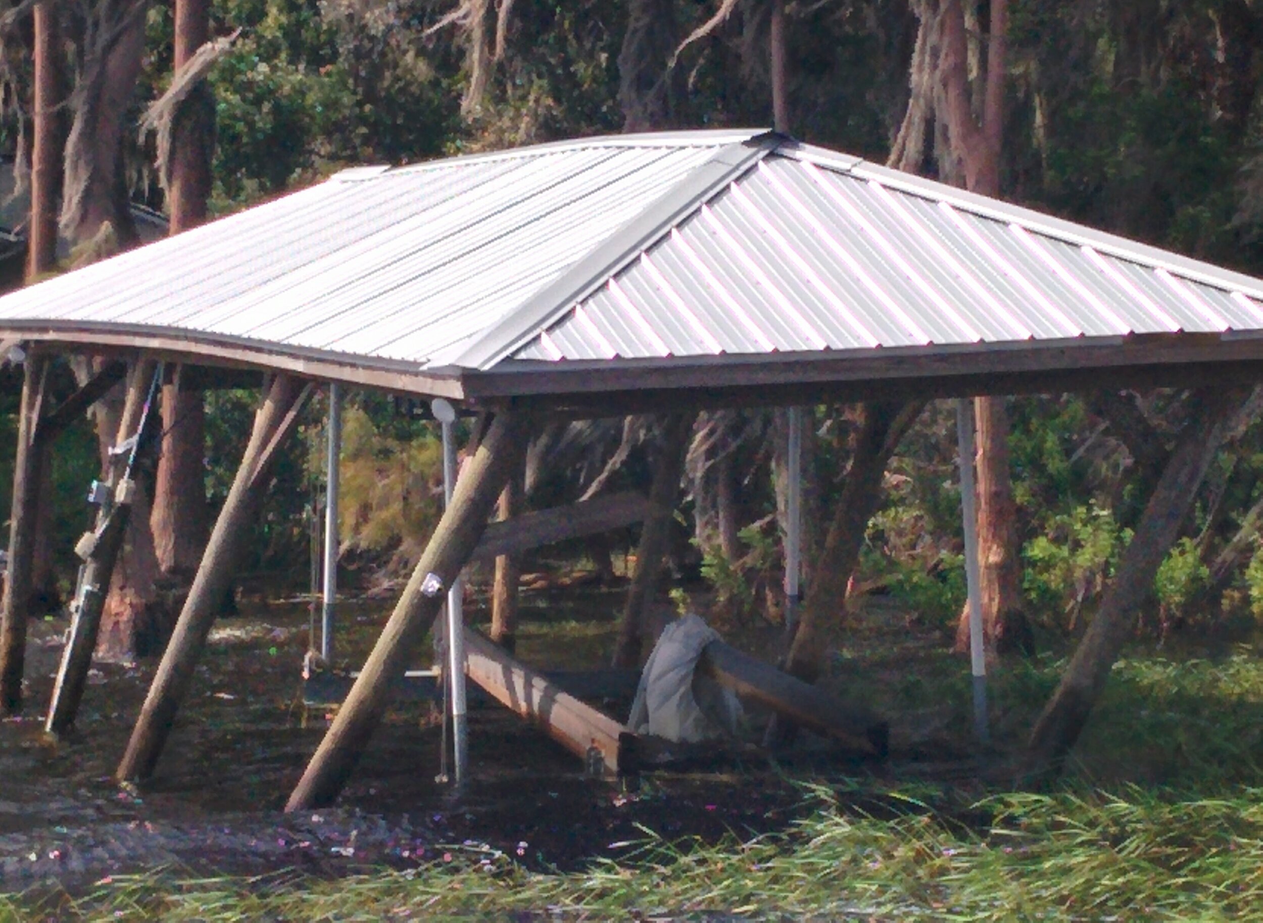
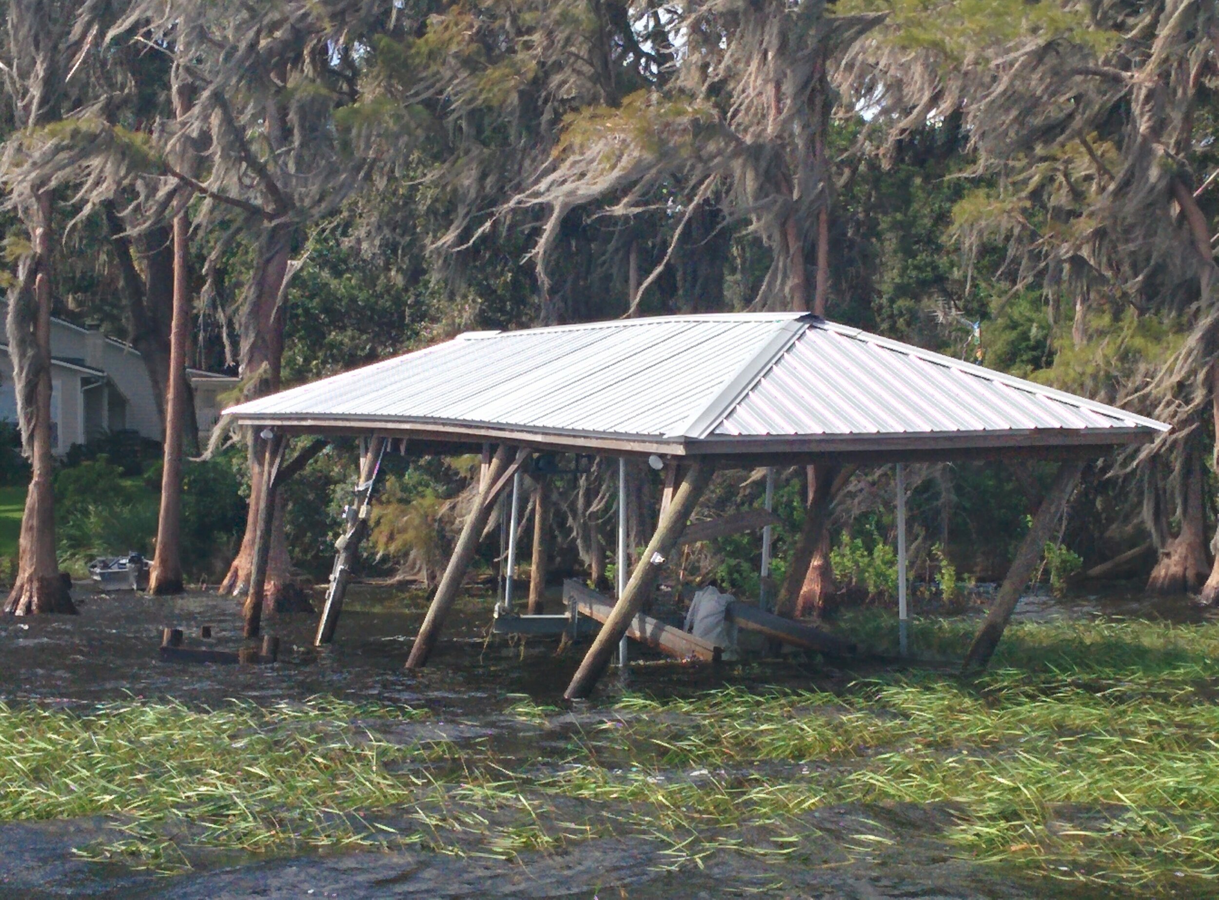
Dock gone, sailboat sunk, due to Hurricane Irma.
We’ll take a closer look at impact of Irma on Lake Santa Fe, but first a bit about Hurricane Irma’s impact on Florida.
Hurricane Irma Devastated Florida
Hurricane Irma, which developed near the Cape Verde Islands on August 30, 2017, was the most expensive storms to hit Florida.. By September 5, Irma was a powerful Category 5 hurricane, devastating Saint Maarten and the British Virgin Islands on September 6. Irma weakened to a Cat 4 as it crossed Little Inagua in the Bahamas on the 8th, but quickly intensified to Cat 5, slamming into the Sabana-Camagüey Archipelago of Cuba. Hovering over those land masses took some of the storm’s strength which dropped to a Cat 3, but but by the time it hit the Straits of Florida, Irma was a Cat 4 again.
Irma struck Florida twice on September 10, first as a Cat 4 at Cudjoe Key and second on Marco Island as a Cat 3. The hurricane weakened significantly over Florida and was reduced to a tropical storm before exiting the state into Georgia on September 11, but not before doing significant damage to Alachua County and Lake Santa Fe.
Winds From Irma
The hurricane brought strong winds to the state of Florida. Officially, the strongest reported sustained wind speed was 112 mph (180 km/h) on Marco Island, while the highest observed wind gust was 142 mph (229 km/h), recorded near Naples. However, wind gusts may have ranged from 150 to 160 mph (240 to 260 km/h) between Bahia Honda and Little Torch Key, the general vicinity of the storm's first landfall in Florida. Many counties throughout the state experienced hurricane-force wind gusts.
The highest recorded storm surge was 7.6 ft (2.3 m) NAVD near the Matanzas Inlet, though there were no observations from the Ten Thousand Islands, where the highest storm surge likely occurred. Additionally, much of the Gulf Coast of Florida had a negative storm surge, with water retracting rather than pushing inland.]
Over 7.7 million homes and businesses were without power at some point – about 73% of electrical customers in the state.
Precipitation was generally heavy to the east of the storm's path, peaking at 21.66 in (550 mm) in Fort Pierce. Heavy rainfall – and storm surge, in some instances – caused at least 32 rivers and creeks to overflow, resulting in significant flooding, especially along the St. Johns River and its tributaries.
It was estimated that the cyclone caused at least $50 billion in damage, making Irma the costliest hurricane in Florida history, surpassing Hurricane Andrew. The hurricane spawned at least 23 tornadoes, with 8 in Brevard County alone. There were at least 84 fatalities across 27 counties.

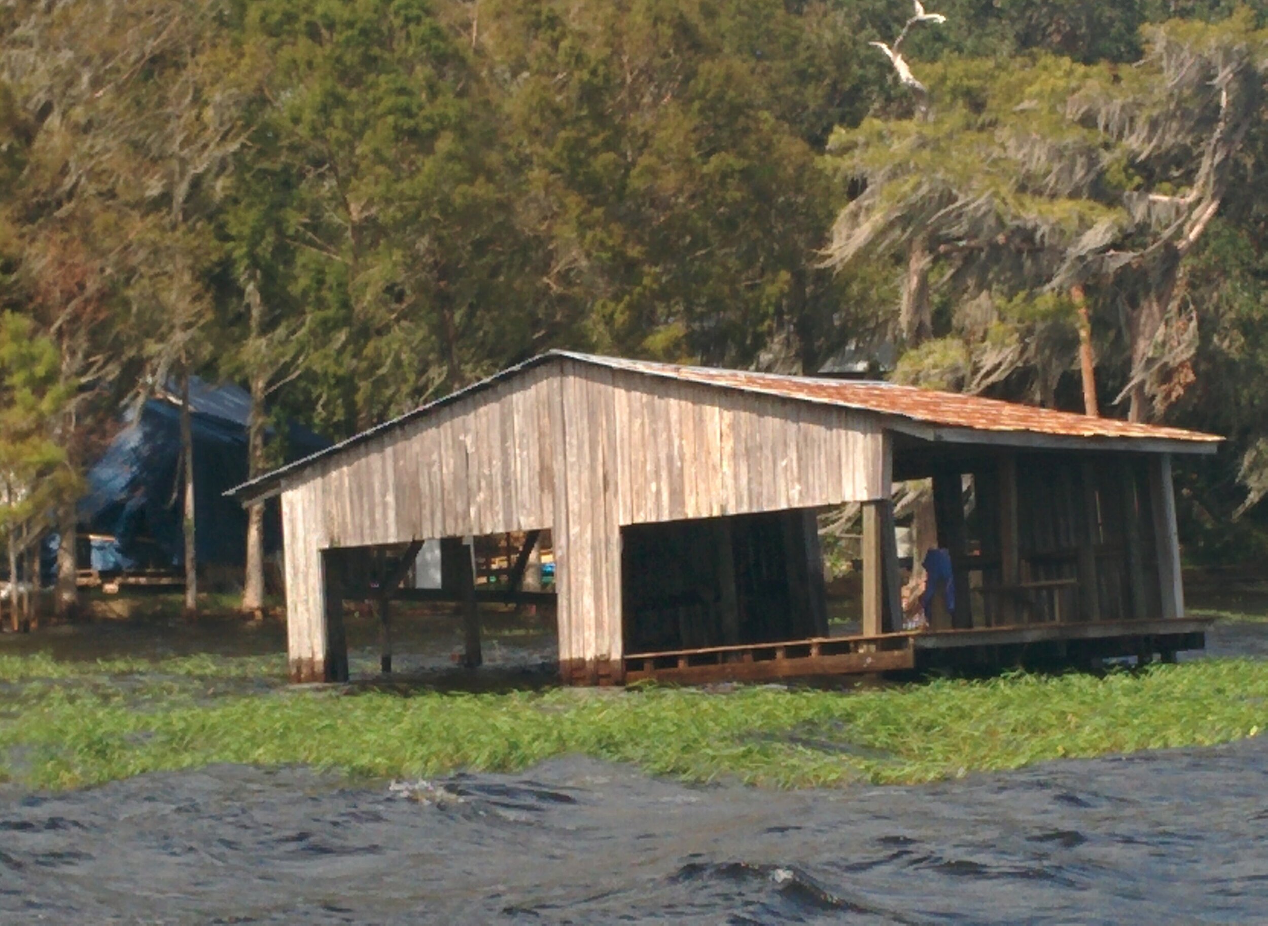
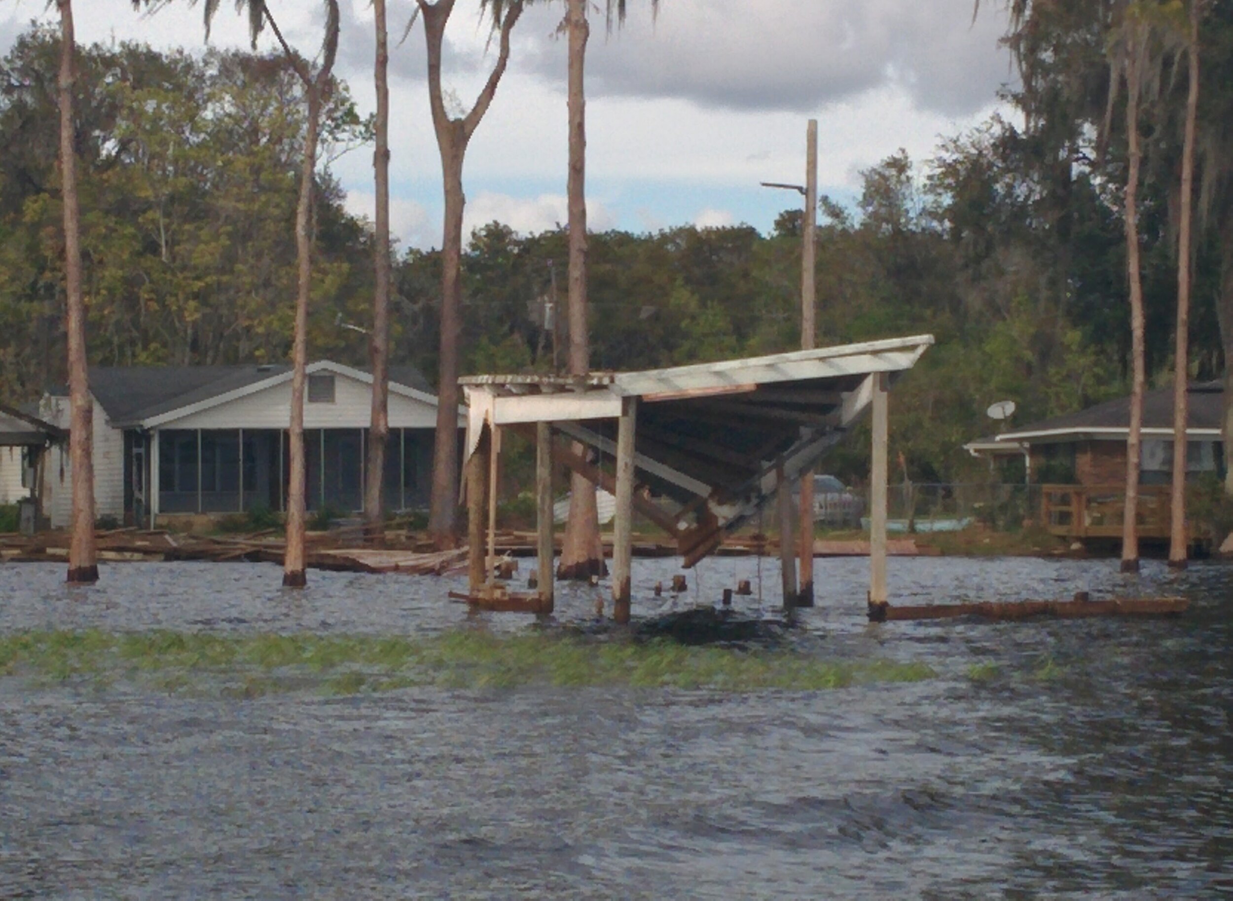
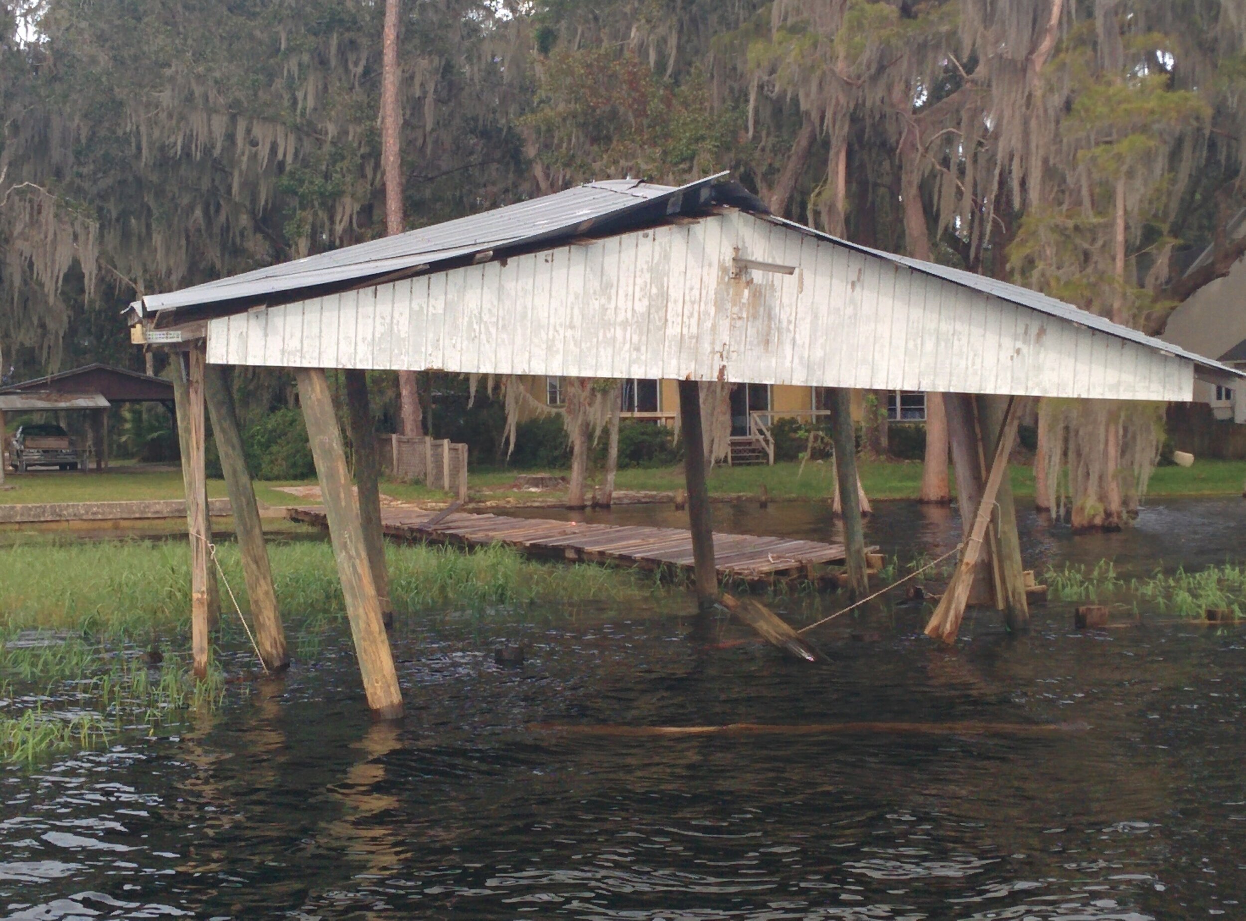
Dock gone, boat house destroyed on Lake Santa Fe
In Alachua County
The strongest winds recorded in Alachua County were a sustained wind speed of 40 mph (64 km/h) and a gust up to 61 mph (98 km/h), with both observed at the Gainesville Regional Airport. Rainfall peaked at 12.4 in (310 mm) at the Gainesville Regional Airport, while three other locations measured more than 10 in (250 mm) of precipitation. The Santa Fe River rose significantly, cresting at record heights at three locations near High Springs.
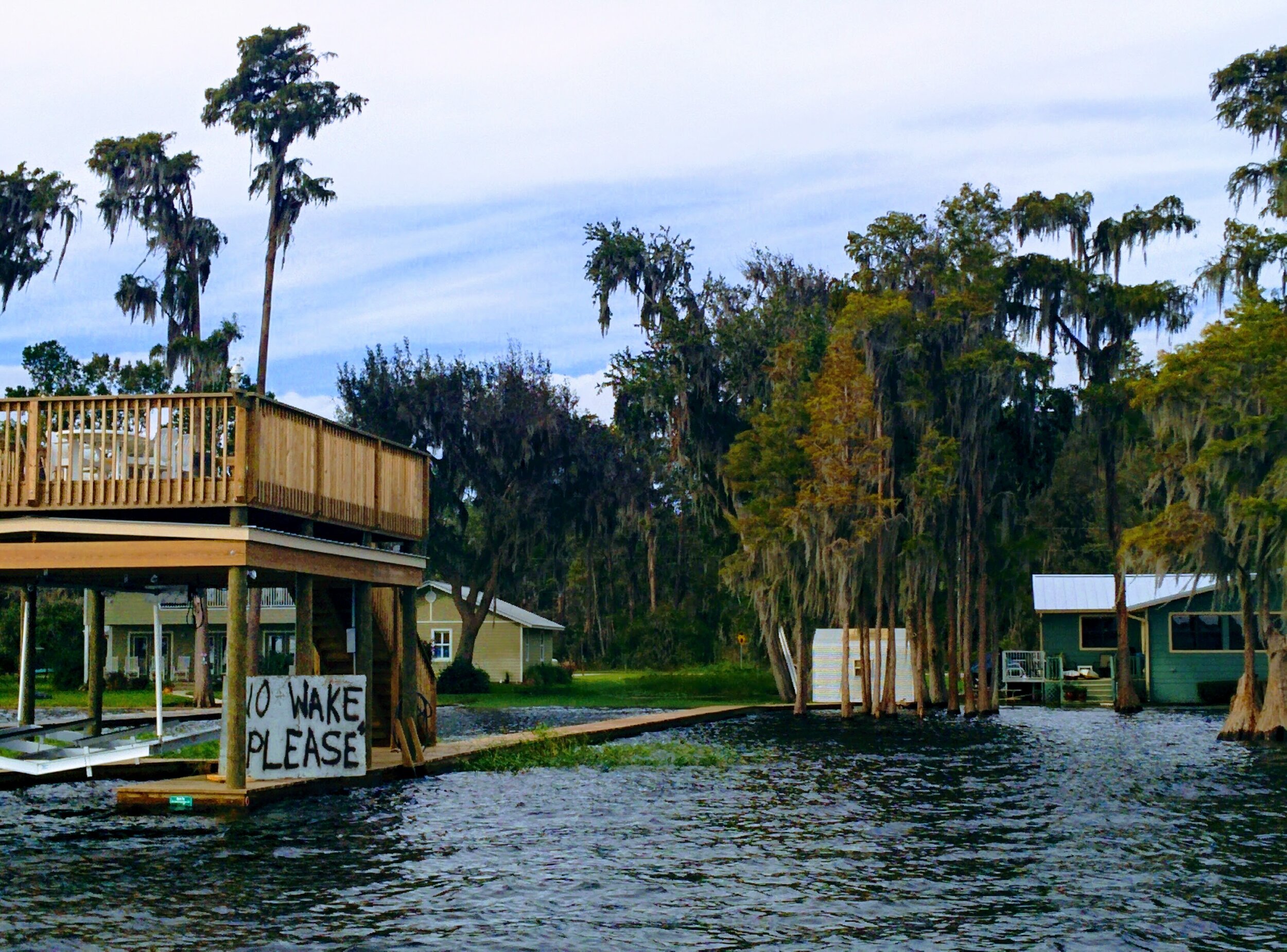
Bradford and Alachua county boat ramps were closed for several weeks to limit additional property damage from boat wakes during high water. Boating and boat speed limits were not regulated on Lake Santa Fe (although no-wake boat speed limits were enacted during the similarly high water levels in 1998).

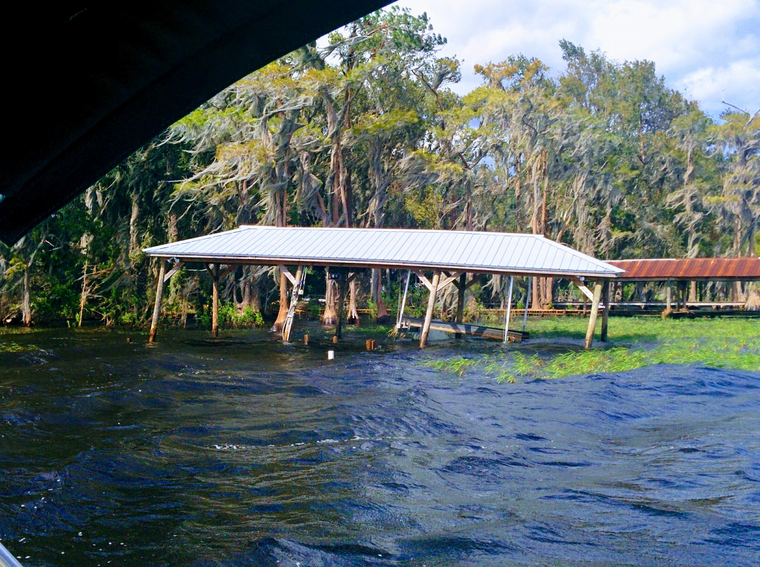
Boat house down, but sailboat intact
Cruising Around Lake Santa Fe
Before the ramps were open, but several weeks after the hurricane hit, a friend, Joyce Thompson, and I drove around Melrose towards Keystone Heights surveying the damage.
We began to get an idea of the damage on the lake by all the wood piled up along the roads, obviously from docks and boat houses. It was pilled everywhere!
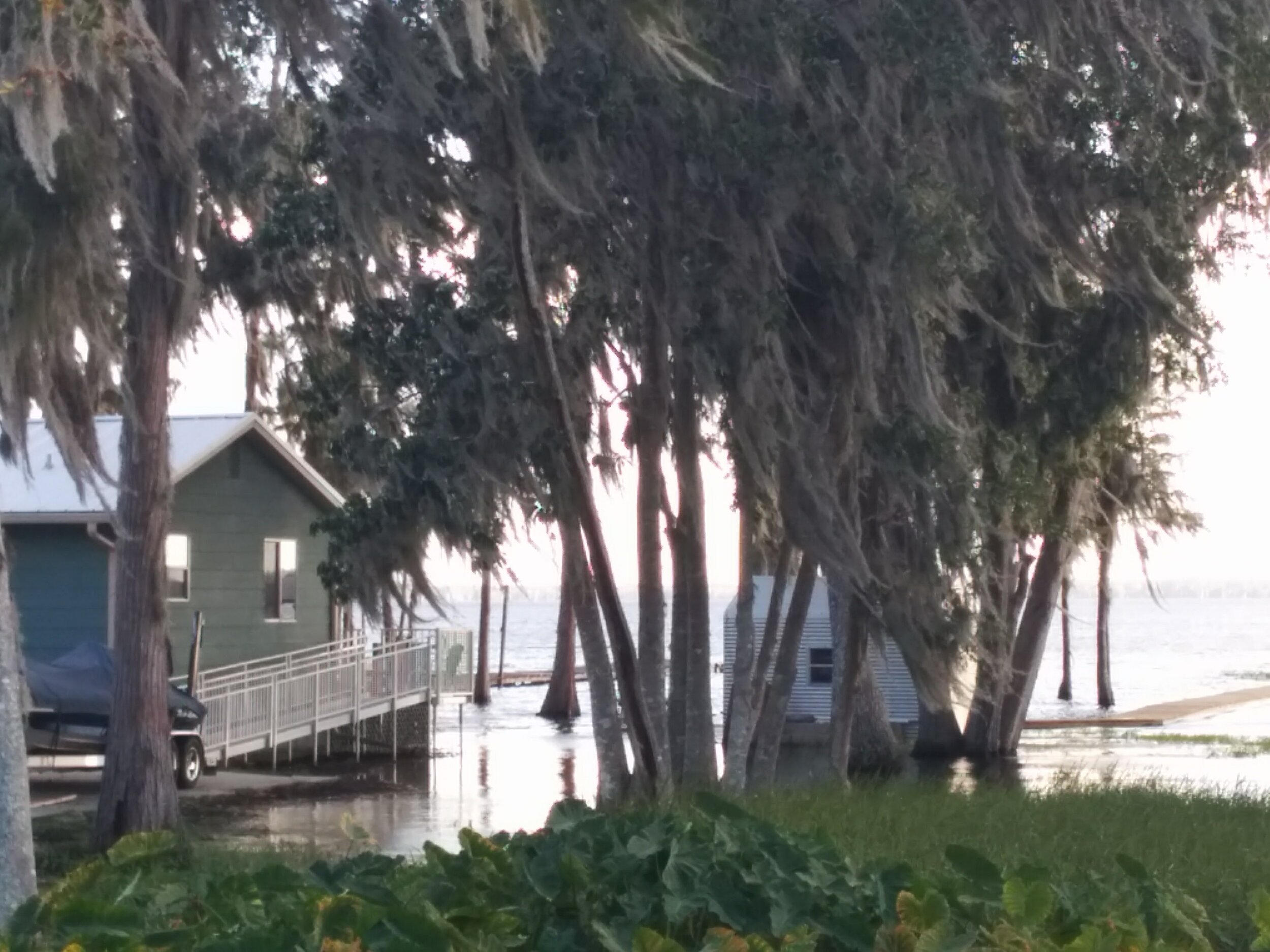
We drove out to a few points, and most of the houses were sitting in the water.

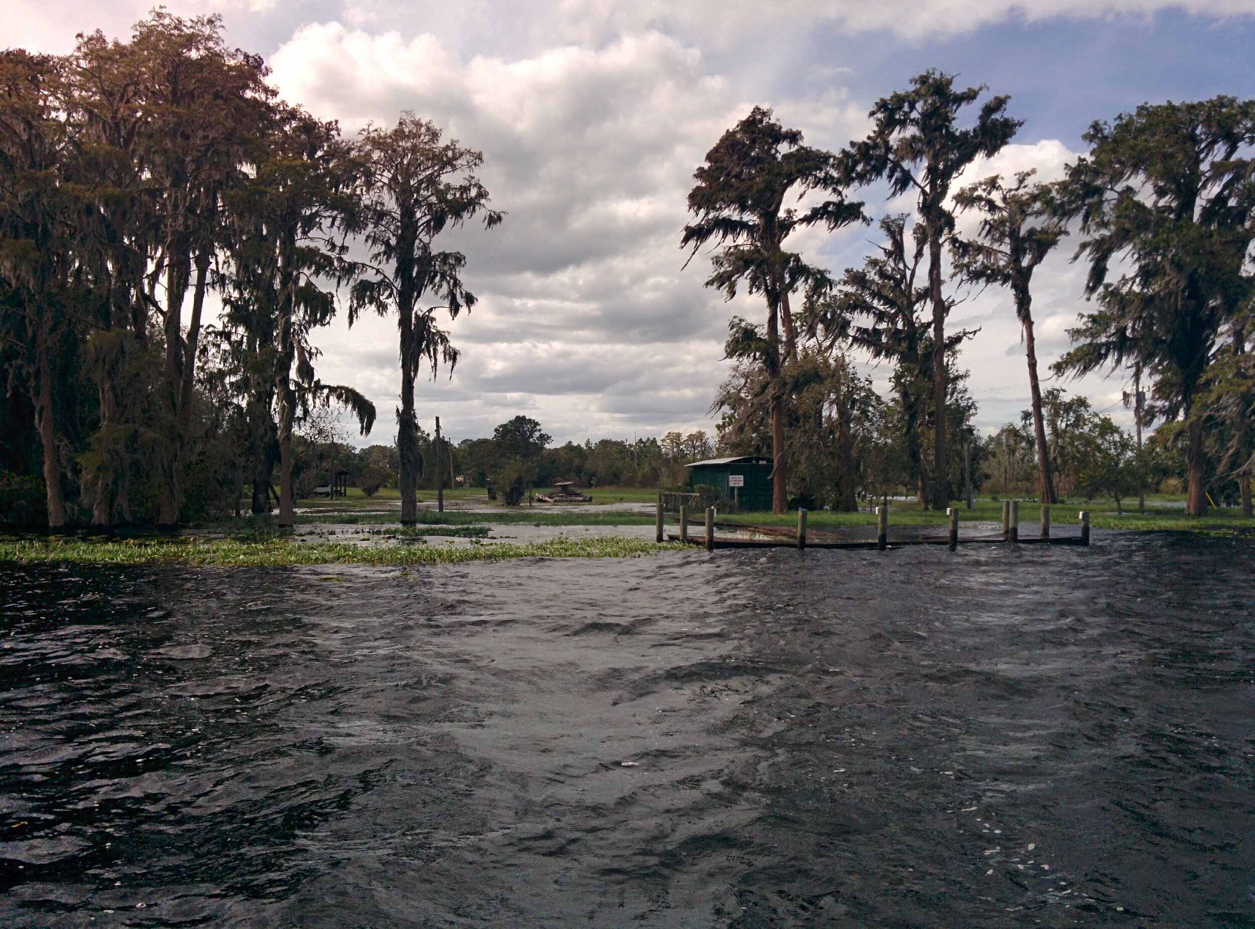
By October 28, 2017, the ramps were open and, jonesing for a boat ride, we decided to have a look at the impact of Irma on the lake.
We cruised the entire lake, Big and Little, at no wake speed, which took several hours, but we definitely did not want to add to the damage we were seeing.
We were dumbstruck by the damage.
There was almost no floating debris, but plenty piled up along the shore line, especially along the west and north shores.
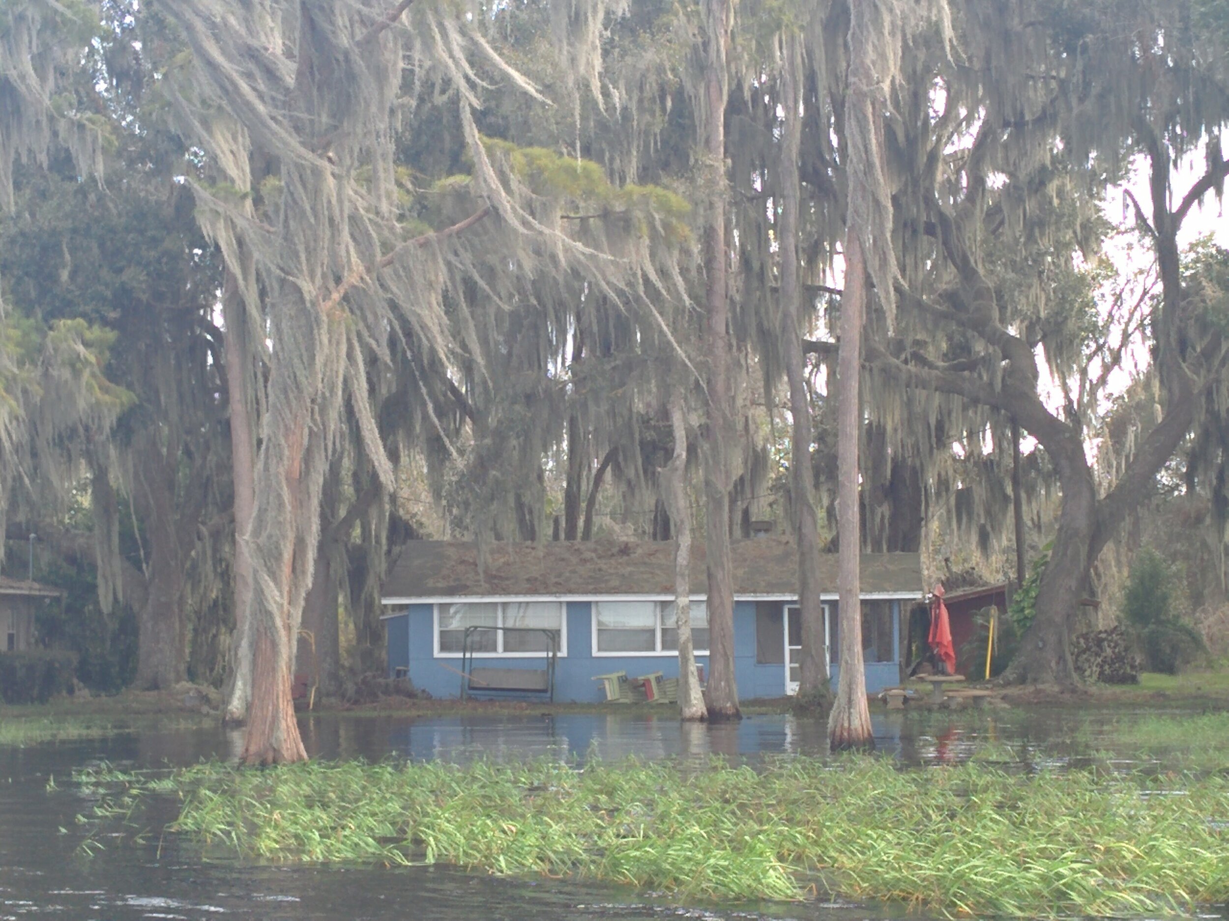
Houses were under water, or nearly under water. This place had just built a beautiful new dock, which turned into a new home for the fish. You can see the water is now behind the house as well.

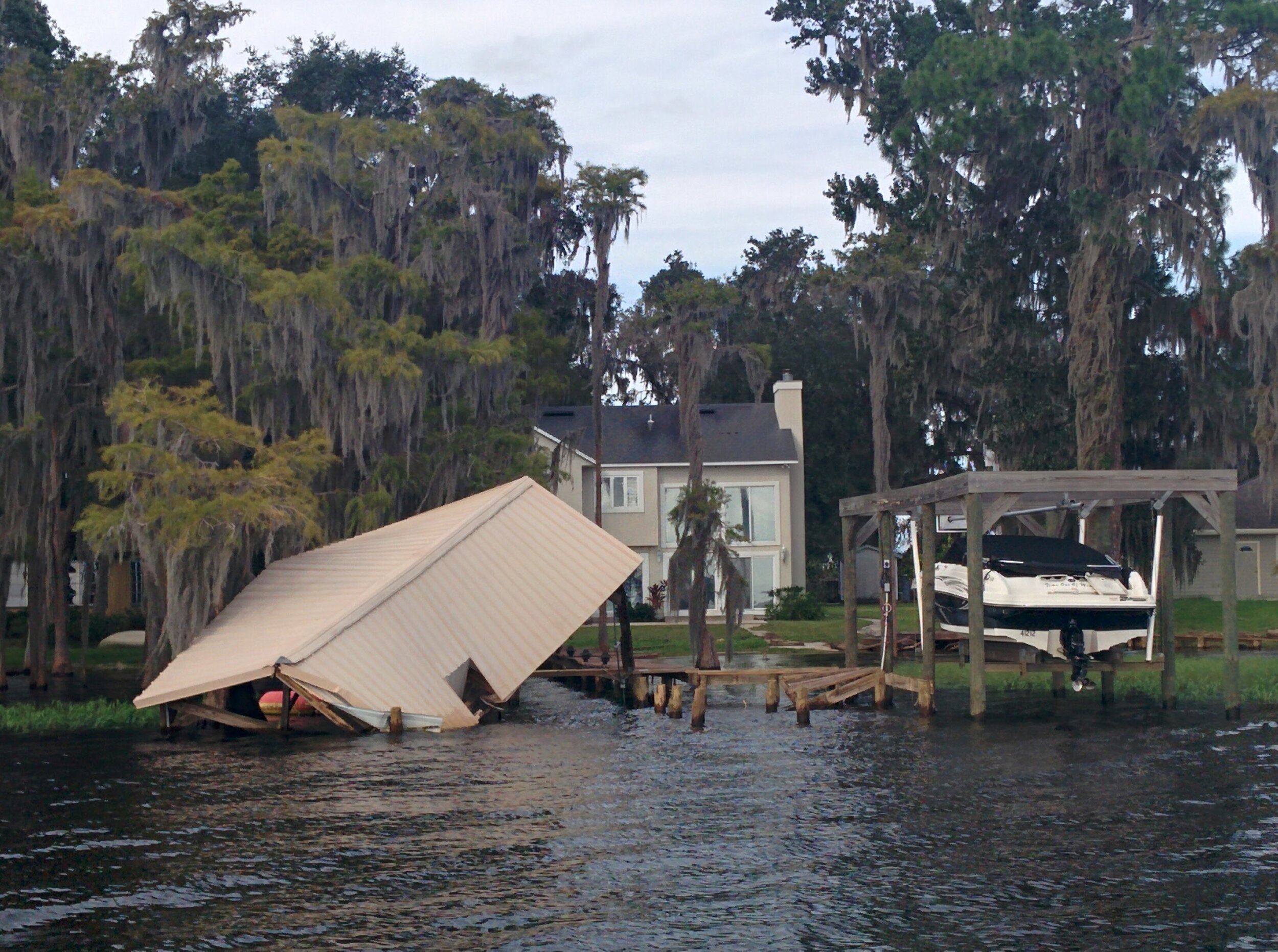
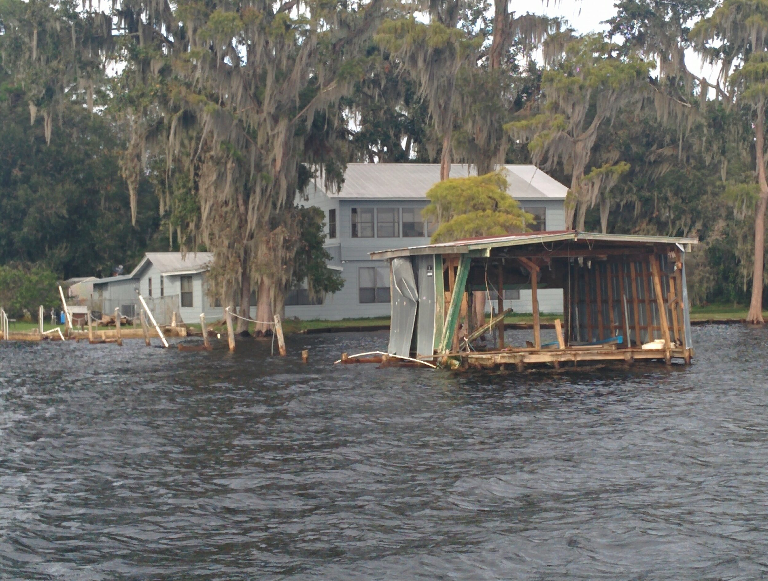
This house, on the WNW side of Big Lake Santa Fe not only was in the water, but the roof had been destroyed.

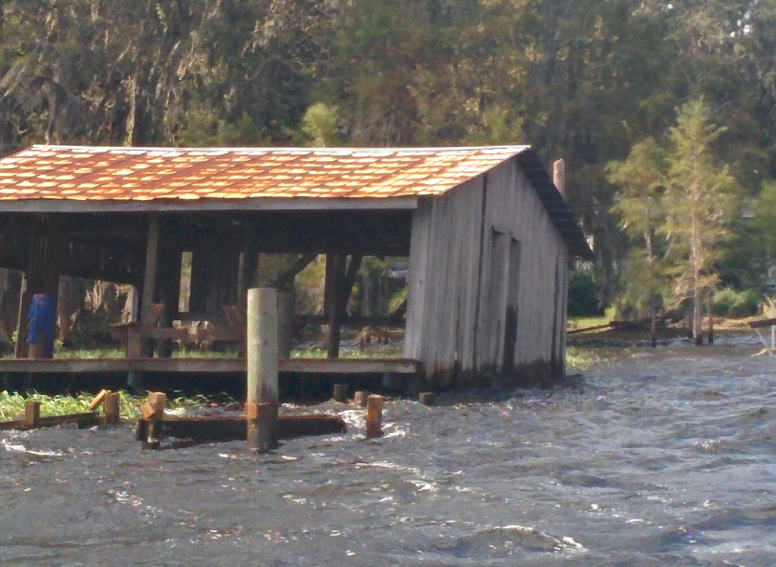
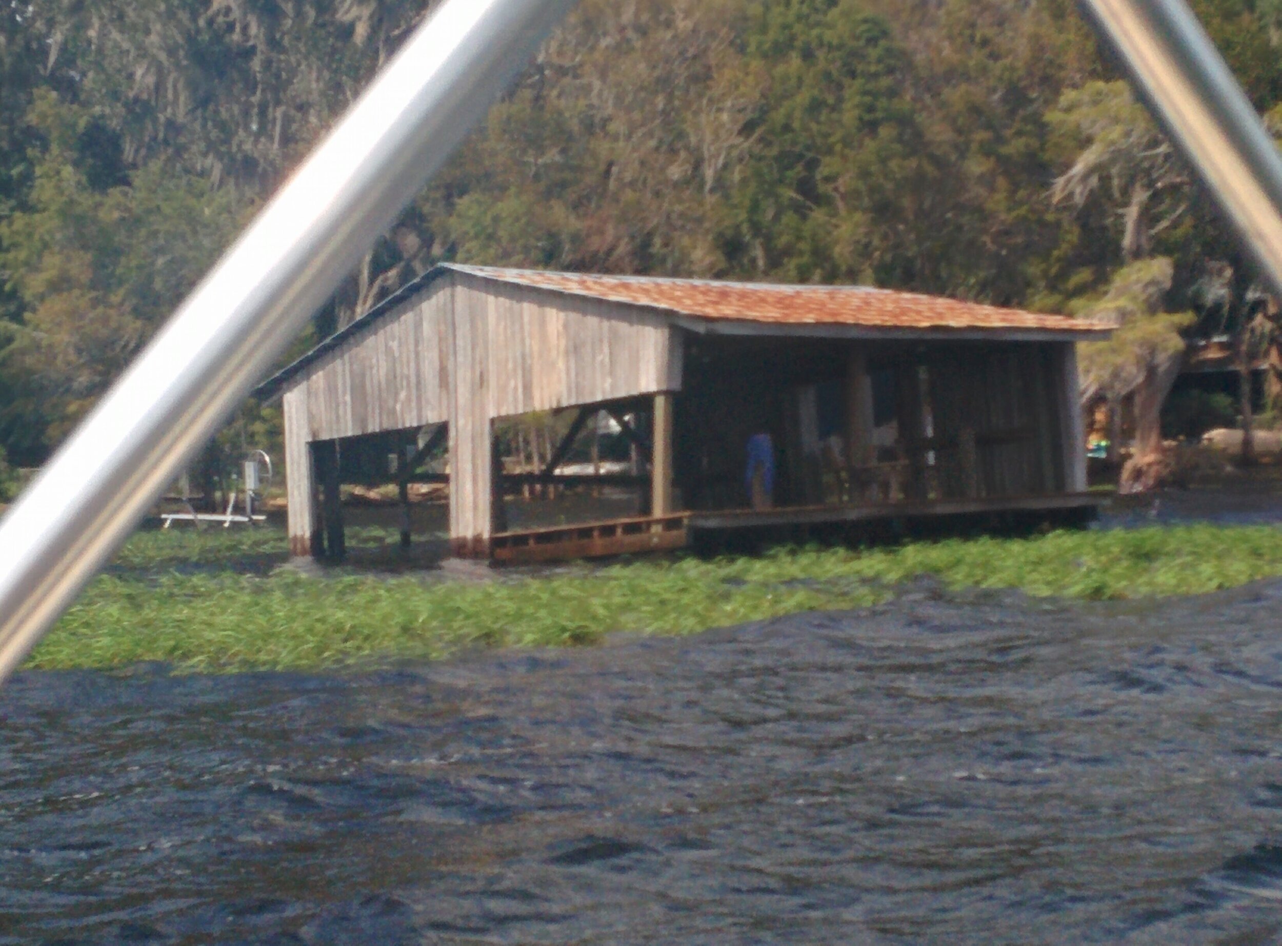
The storm ripped off siding of the boat houses and used that very siding to beat the you-know-what out of the rest of the boathouse, as if the punishment of the winds were not enough, the boathouses seemed to have beaten themselves up.

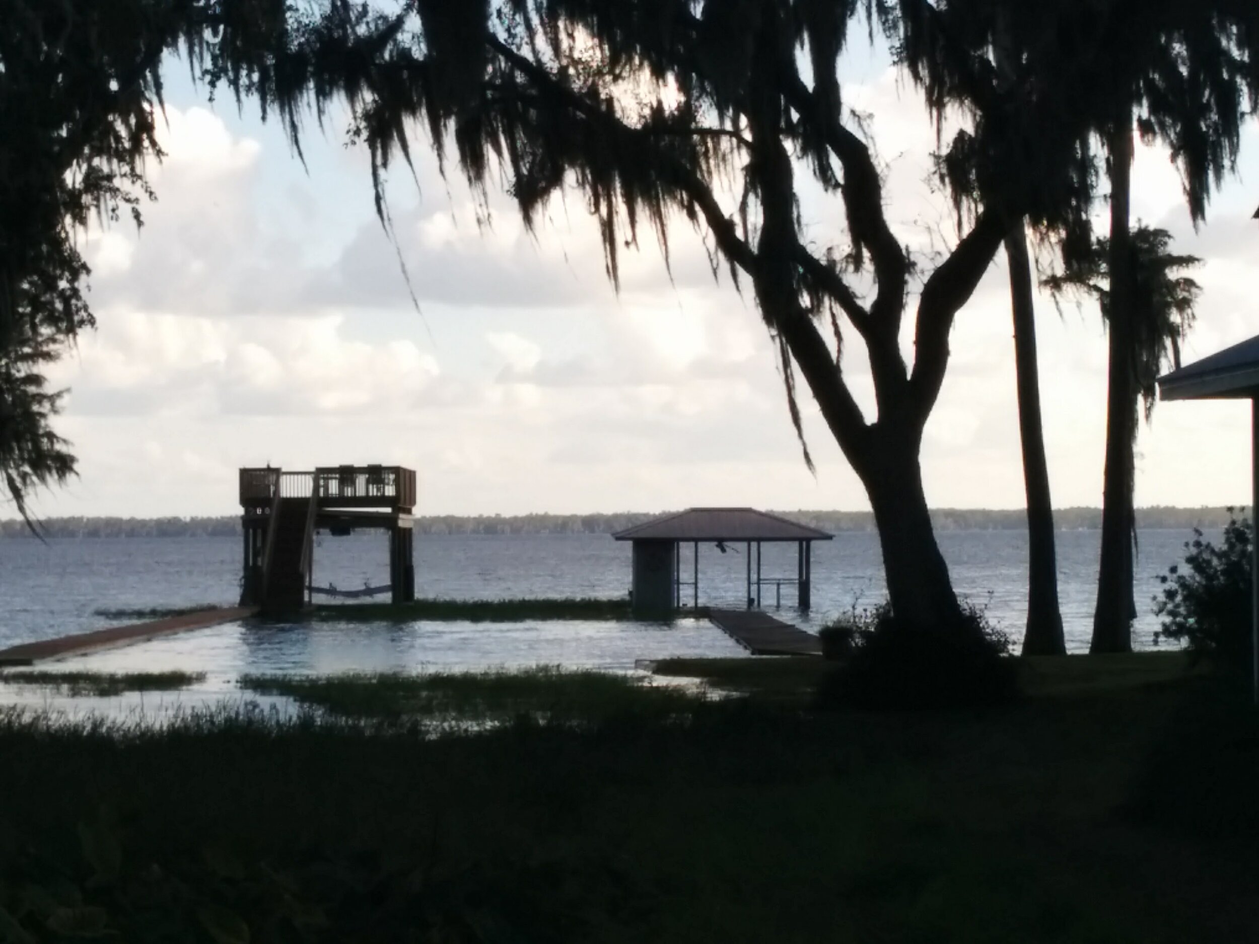
In the next photo is Turtle Bay off of Lake Santa Fe. It is on the SE side of Big Lake Santa Fe and sheltered, so mostly protected from the winds. This photo, right by member Nelson Laffey’s lake home shows an untouched sailboat, but the dock under water.

Click on photo below to scroll through more photos.
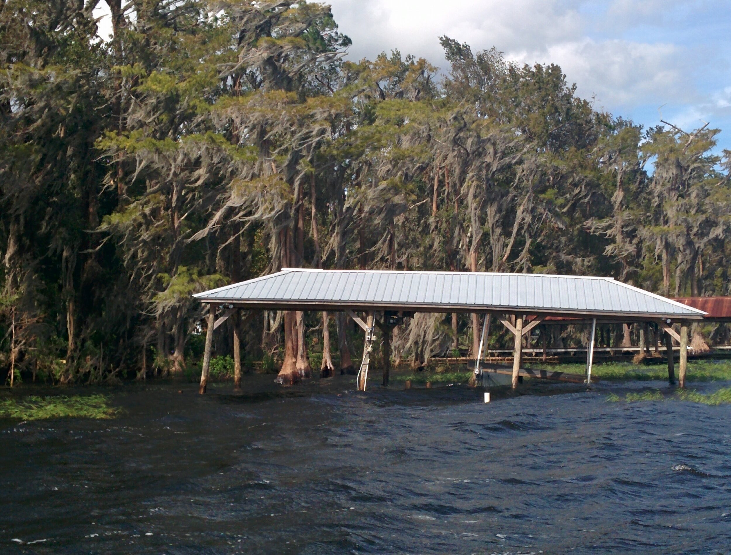
In one photo, the boat house roof is in the water, the dock is gone but the boat is fine — but now way to get aboard.
In the end, the north west shores of the lake took the brunt of the high winds, and recovery could take a long time, on the lake and elsewhere in Florida.